Zustellung: Mi, 15.01. - Mo, 20.01.25
Versand in 2 Wochen
VersandkostenfreiBestellen & in Filiale abholen:
GIS FOR PUBLIC SAFETY
Discover a modern approach to help mitigate threats to public safety in your community.
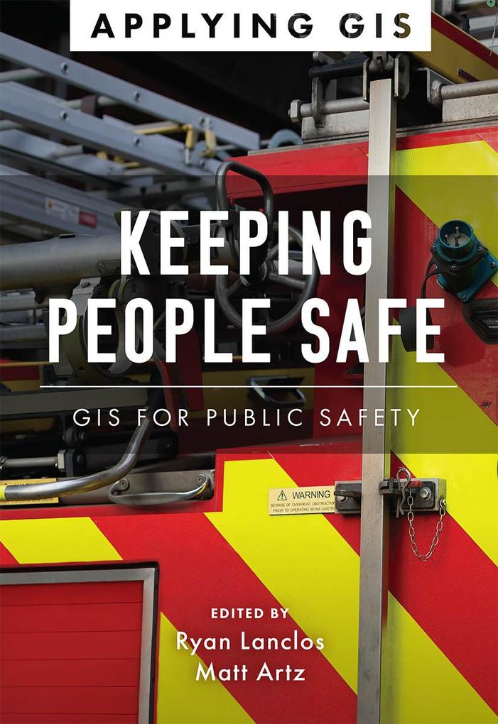
Keeping People Safe: GIS for Public Safety explores a collection of real-life case studies about emergency management, law enforcement, fire, rescue, emergency medical services, and homeland security agencies successfully using GIS for real and potential threats. The book also includes a "how to get started" section that provides ideas, strategies, tools, and actions to help jump-start your own use of GIS for public safety. A collection of online resources, including additional stories, videos, new ideas and concepts, and downloadable tools and content, complements this book.
Edited by Ryan Lanclos, Esri's director of public safety solutions, and Matt Artz, an Esri content strategist.
Inhaltsverzeichnis
Introduction
How to use this book
Part 1: Emergency communications
Rolling out next-generation 911 to find people in crisis
Illinois State Police
Part 2: Emergency management
When tragedy precipitates innovation
City of Dayton, Ohio
Coronavirus: World connectivity can save lives
Johns Hopkins University and others
Counties organize evacuations well in advance
US Army Corps of Engineers and Suffolk County Office of Emergency Management, New York
Responding to a hurricane from the woods
Pasco County, Florida
Part 3: Fire, rescue, and EMS
Real-time dashboard keeps Pasadena Rose Parade on track
Pasadena Fire Department in California
Embracing apps to better prepare for emergencies
Northwest Fire District of Southern Arizona
Preventing home fires before they start
City of Surrey Fire Service, British Columbia, Canada
COVID-19: Firefighters turn to apps, maps, and dashboards
International Association of Fire Chiefs
Part 4: Homeland security
Sharing data and configurable apps to aid public safety
Portugal Ministry of Internal Administration
Increasing security for the NCAA Final Four Championship
San Antonio Fire Department in Texas
Improving coastal policing with a real-time big data system
Argentine Coast Guard
Police adopt digital apps to secure the state fair
Illinois State Police
Part 5: Humanitarian assistance
Relief workers rely on drone imagery to help a refugee camp
International Organization for Migration
Part 6: Law enforcement
Police save time and money with field data collection efficiency
Redlands Police Department in California
Apps help provide targeted assistance to homeless populations
San Bernardino County Sheriff's Department , California
Sheriff deploys app to track fugitives
San Juan County Sheriff's Office, New Mexico
Smart policing gets a boost from enterprise GIS
St. Petersburg Police Department in Florida
Police collaborate to address crime that arrests alone won't solve
Philadelphia Police Department
Next steps
Mehr aus dieser Reihe
Produktdetails
Erscheinungsdatum
08. Februar 2022
Sprache
englisch
Seitenanzahl
158
Reihe
Applying GIS, 5
Herausgegeben von
Ryan Lanclos, Matt Artz
Verlag/Hersteller
Produktart
kartoniert
Gewicht
544 g
Größe (L/B/H)
202/138/10 mm
ISBN
9781589486867
Entdecken Sie mehr
Bewertungen
0 Bewertungen
Es wurden noch keine Bewertungen abgegeben. Schreiben Sie die erste Bewertung zu "Keeping People Safe" und helfen Sie damit anderen bei der Kaufentscheidung.


