Zustellung: Mi, 30.04. - Sa, 03.05.
Versand in 2 Tagen
VersandkostenfreiBestellen & in Filiale abholen:
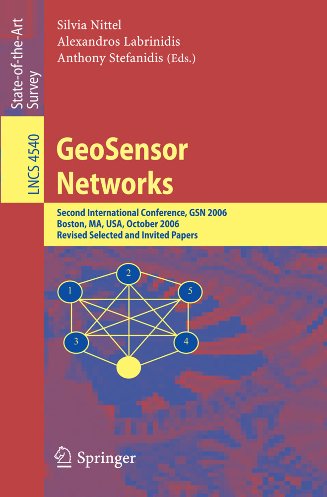
This volume serves as the post-conference proceedings for the Second GeoSensor Networks Conference that was held in Boston, Massachusetts in October 2006. The conference addressed issues related to the collection, management, processing, ana- sis, and delivery of real-time geospatial data using distributed geosensor networks. This represents an evolution of the traditional static and centralized geocomputational paradigm, to support the collection of both temporally and spatially high-resolution, up-to-date data over a broad geographic area, and to use sensor networks as actuators in geographic space. Sensors in these environments can be static or mobile, and can be used to passively collect information about the environment or, eventually, to actively influence it. The research challenges behind this novel paradigm extend the frontiers of tra- tional GIS research further into computer science, addressing issues like data stream processing, mobile computing, location-based services, temporal-spatial queries over geosensor networks, adaptable middleware, sensor data integration and mining, au- mated updating of geospatial databases, VR modeling, and computer vision. In order to address these topics, the GSN 2006 conference brought together leading experts in these fields, and provided a three-day forum to present papers and exchange ideas.
Inhaltsverzeichnis
to Advances in Geosensor Networks. - to Advances in Geosensor Networks. - Data Acquisition and Processing. - Impact of Drifter Deployment on the Quality of Ocean Sensing. - Efficient Data Collection and Selective Queries in Sensor Networks. - Exploiting Spatio-temporal Correlations for Data Processing in Sensor Networks. - Load Management and High Availability in the Borealis Distributed Stream Processing Engine. - Knowledge Aquisition and Data Storage in Mobile GeoSensor Networks. - Continuous Spatiotemporal Trajectory Joins. - Data Analysis and Integration. - Data-Centric Visual Sensor Networks for 3D Sensing. - A Vision for Cyberinfrastructure for Coastal Forecasting and Change Analysis. - OGC® Sensor Web Enablement: Overview and High Level Architecture. - Linking Geosensor Network Data and Ontologies to Support Transportation Modeling. - Applications. - An Operational Real-Time Ocean Sensor Network in the Gulf of Maine. - Using the Sensor Web to Detect and Monitor the Spread of Vegetation Fires in Southern Africa. - Peer-to-Peer Shared Ride Systems.
Produktdetails
Erscheinungsdatum
04. August 2008
Sprache
englisch
Auflage
2008
Seitenanzahl
284
Reihe
Lecture Notes in Computer Science
Herausgegeben von
Alexandros Labrinidis, Silvia Nittel, Anthony Stefanidis
Verlag/Hersteller
Produktart
kartoniert
Abbildungen
X, 271 p.
Gewicht
435 g
Größe (L/B/H)
235/155/16 mm
ISBN
9783540799955
Entdecken Sie mehr
Bewertungen
0 Bewertungen
Es wurden noch keine Bewertungen abgegeben. Schreiben Sie die erste Bewertung zu "GeoSensor Networks" und helfen Sie damit anderen bei der Kaufentscheidung.


